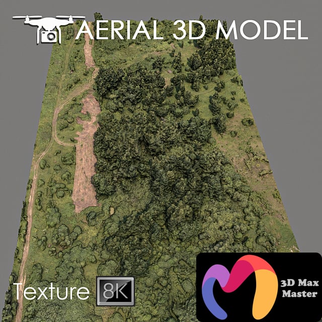

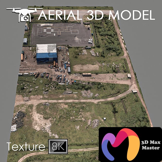
A 3D terrain scan was made with a quadcopter at a height of 60 m.
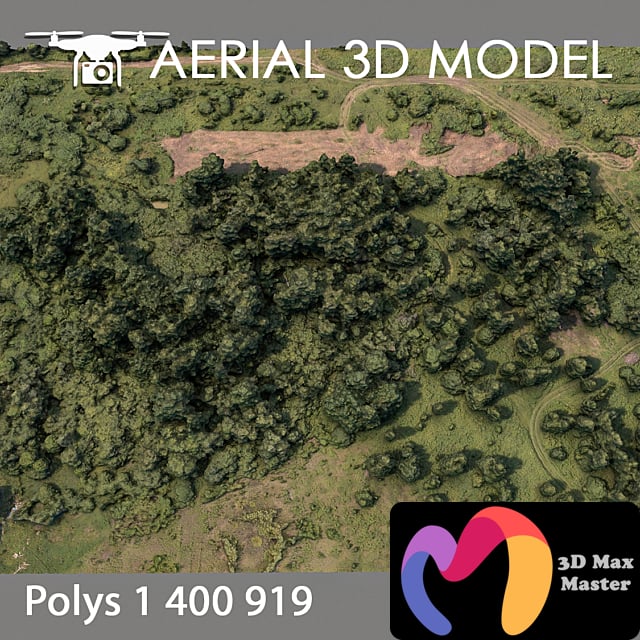
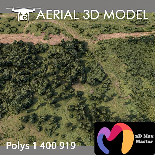
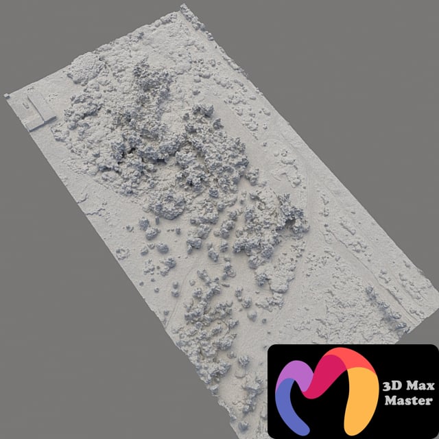
The model consists of one Edit Poli with 1 texture scan.
Texture (scan) 8192х8192
Suitable for visualizing master plans as a background filling. The model is based on real photographs and contains many details and features of the landscape.
I recommend editing the model with the Slice modifier so you can cut the model to the desired areas.
Use only for distant shots as a preview.