
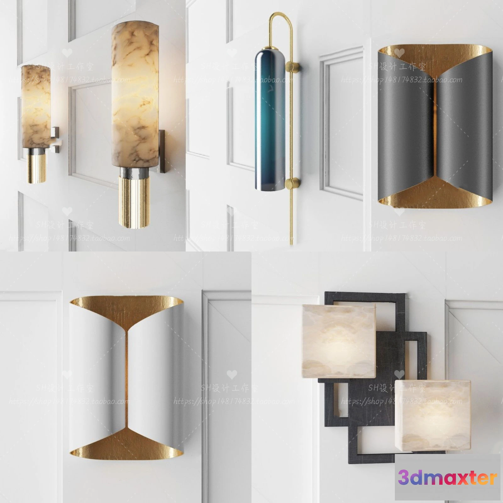
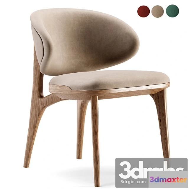
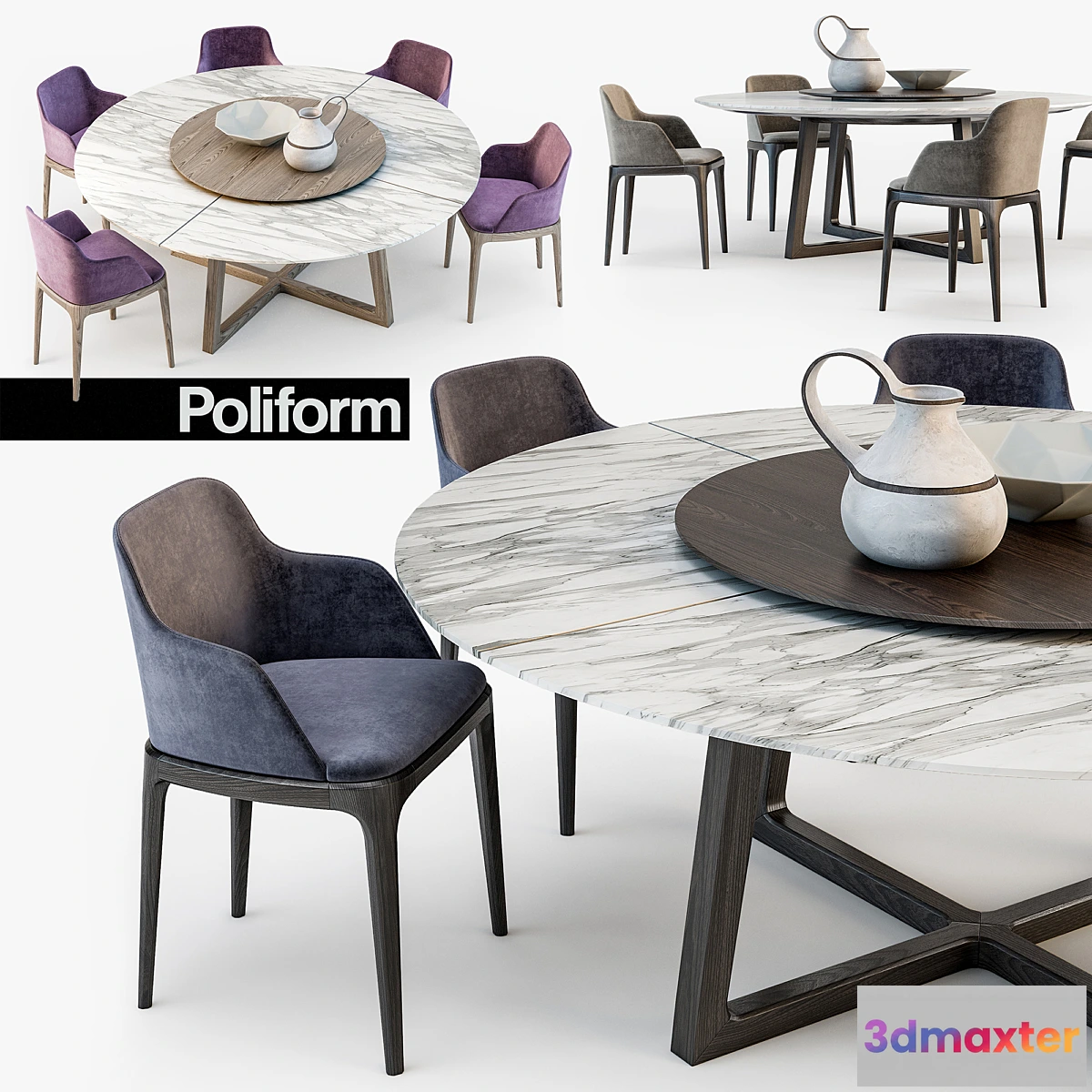
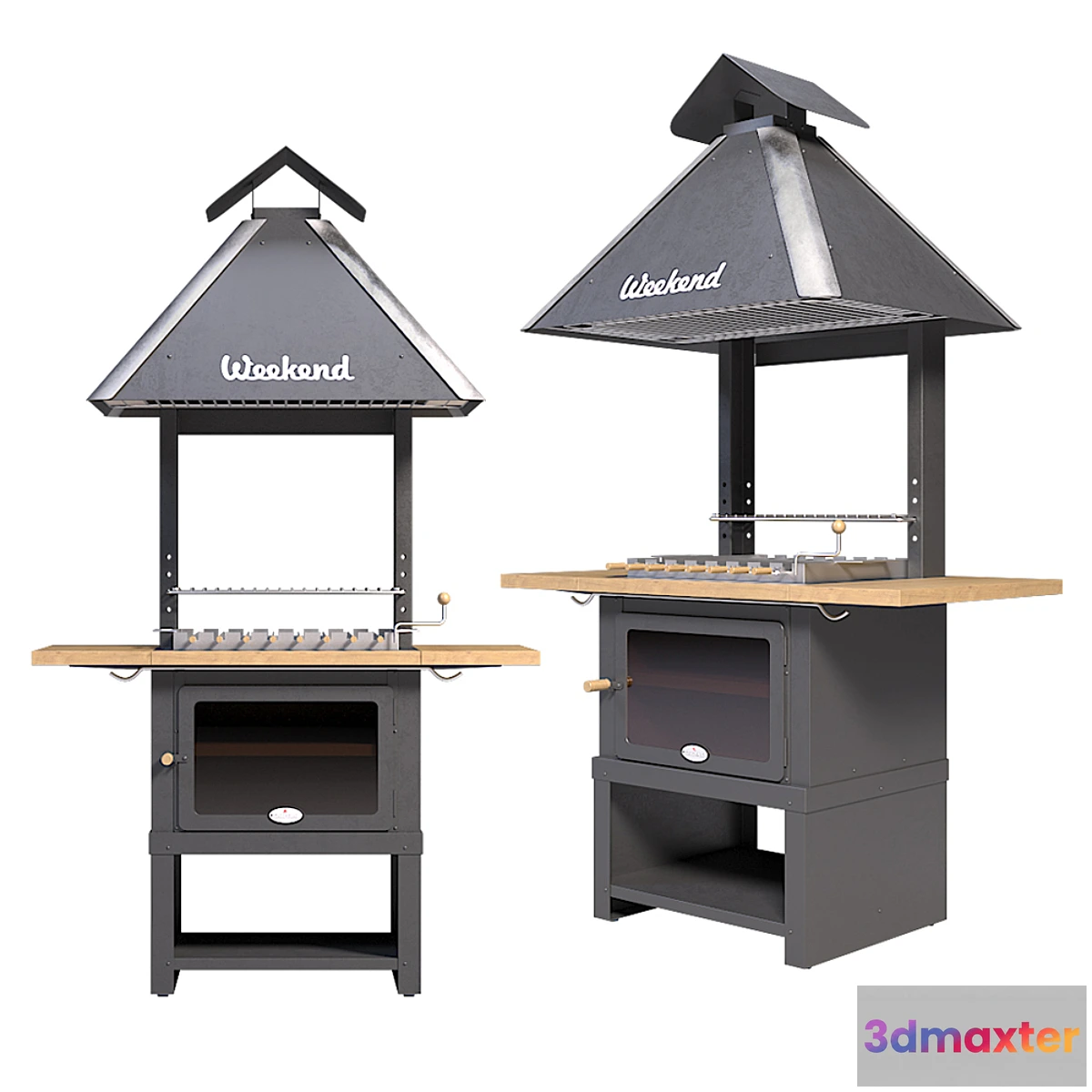
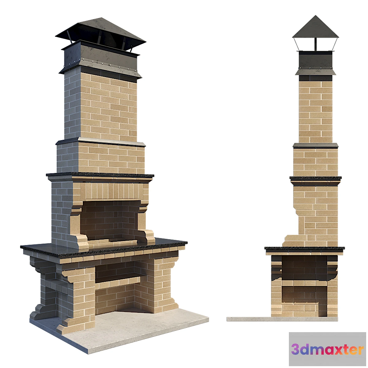
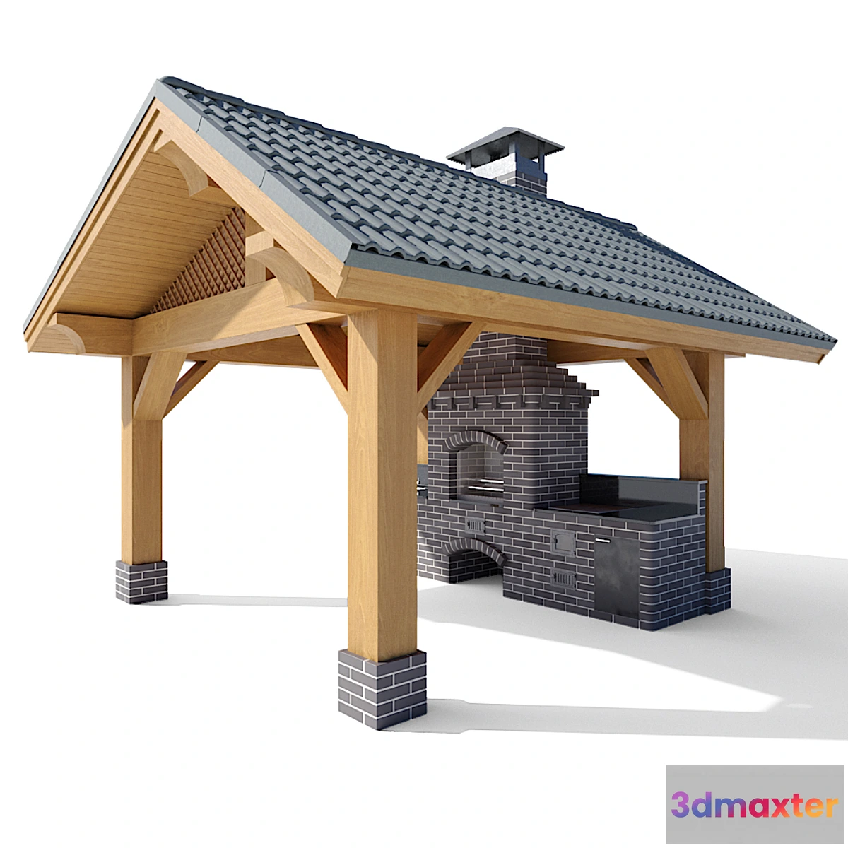
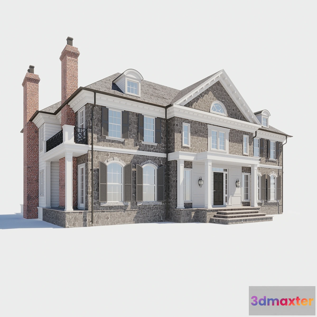
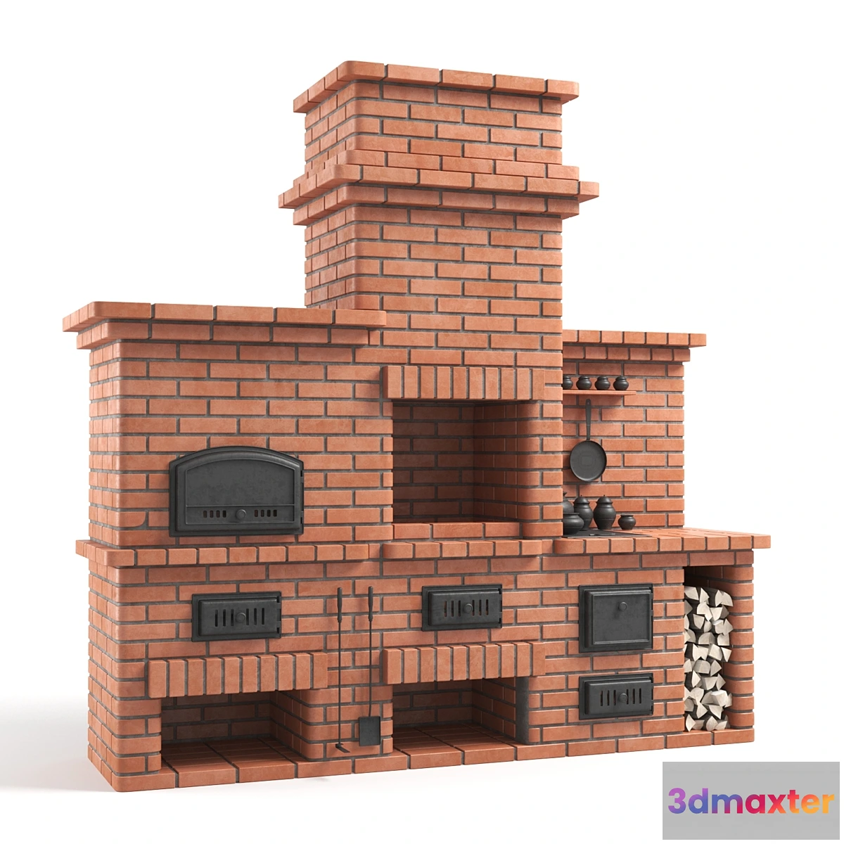
YOU MAY ALSO LIKE
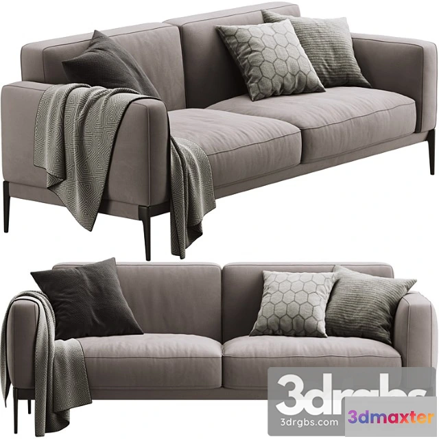
Free


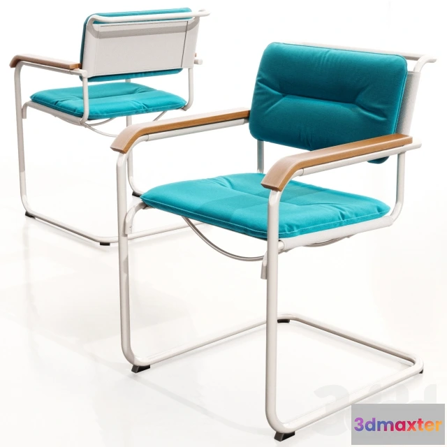
Free
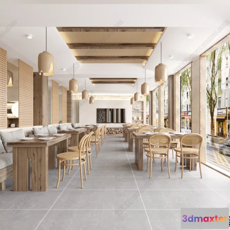
Free


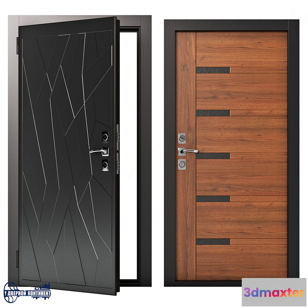
Free
Free


Free

Free


Free


Free


Free

Terrain model made by quadrocopter
A 3D scan of the terrain was made using a quadrocopter at an altitude of 60 m.
The model consists of one mesh with 1 texture.
Texture (scan) 8192×8192
Suitable for visualization of master plans as a background fill. The model is made on the basis of real photos and contains many details and features of the landscape.
I recommend editing the model with the Slice modifier so you can trim the model to the desired areas.
Free
Please verify you are human to get the download link.


Reviews
There are no reviews yet.