


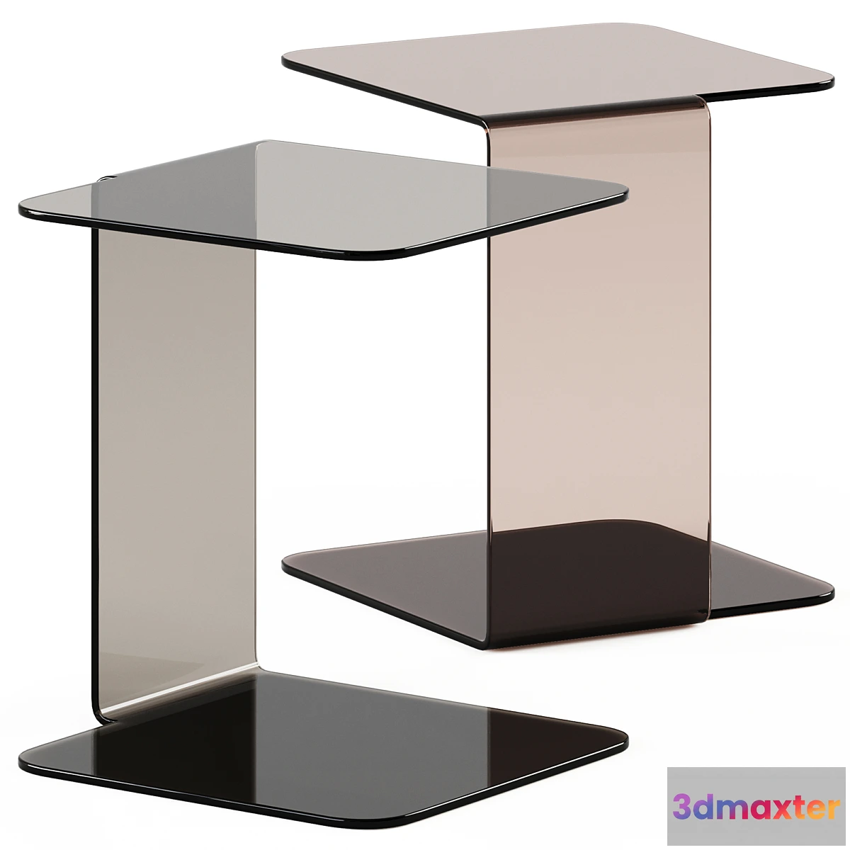
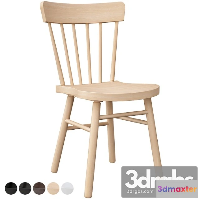
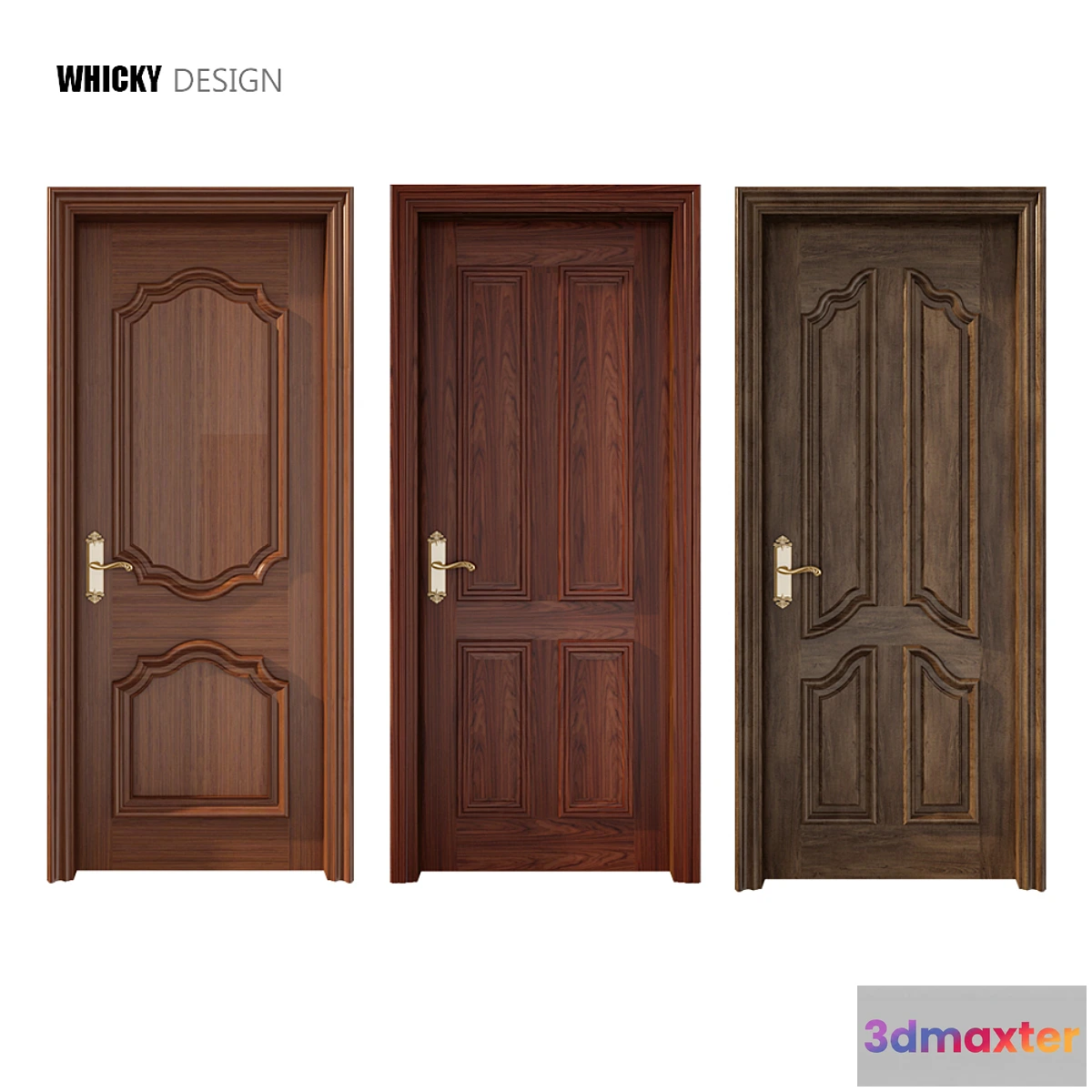
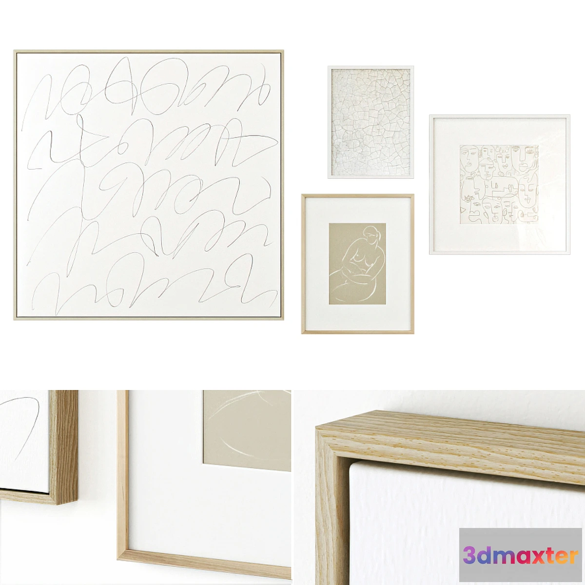
YOU MAY ALSO LIKE


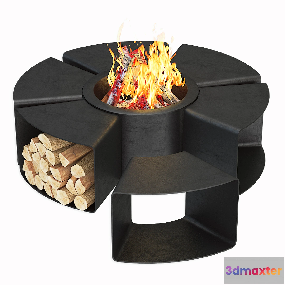
Free


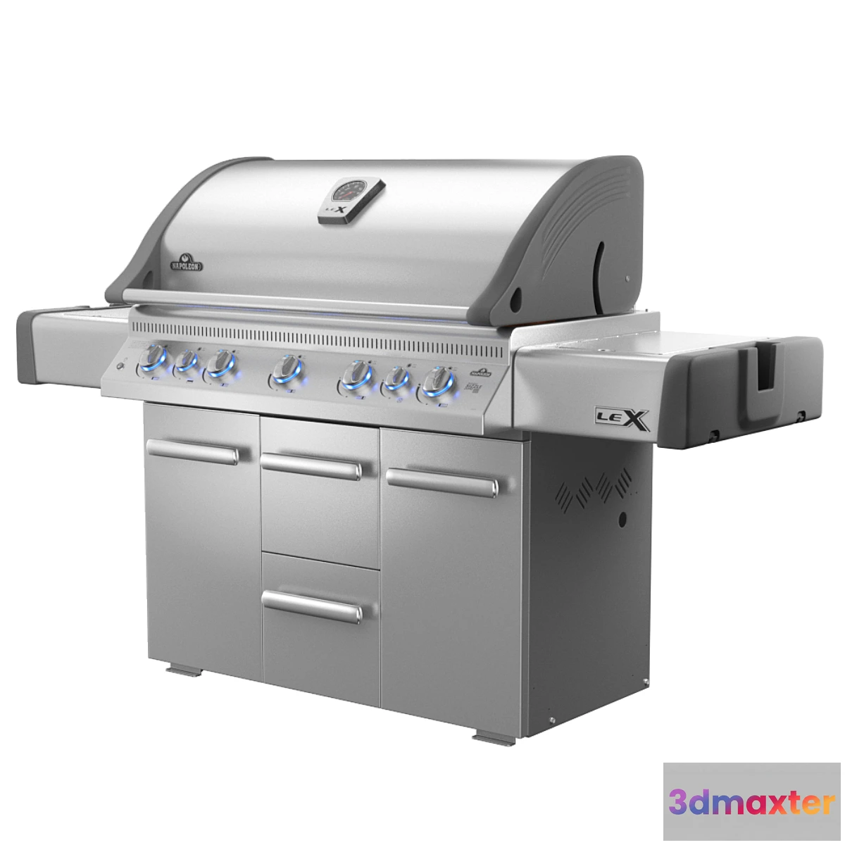
Free


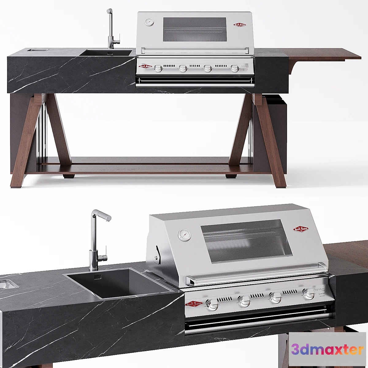
Free


Free


Free
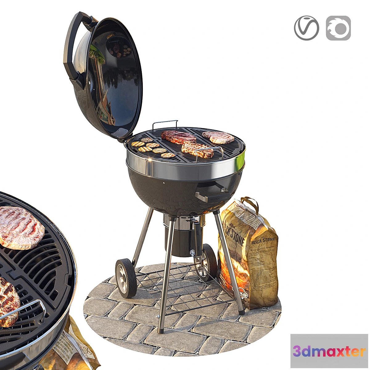
Free
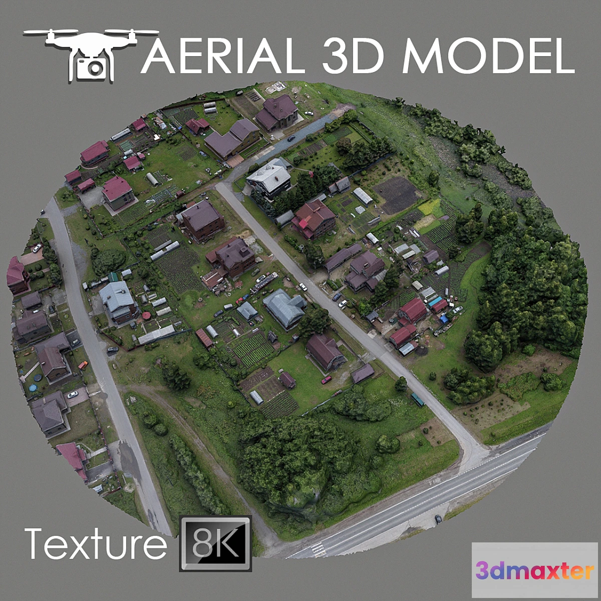
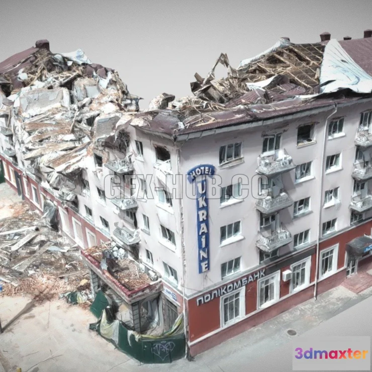
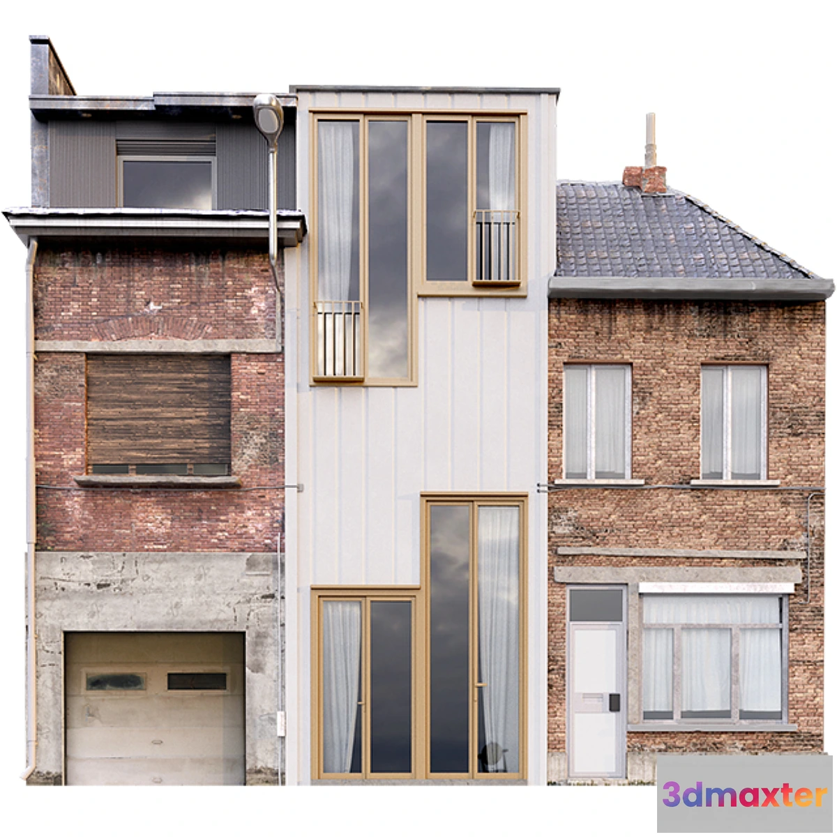
A 3D terrain scan was made with a quadcopter at a height of 60 m.
The model consists of one Edit Poli with 1 texture scan.
Texture (scan) 8192х8192
Suitable for visualizing master plans as a background filling. The model is based on real photographs and contains many details and features of the landscape.
Use only for distant shots as a preview.
Free
Please verify you are human to get the download link.


Reviews
There are no reviews yet.