No products in the cart.


YOU MAY ALSO LIKE

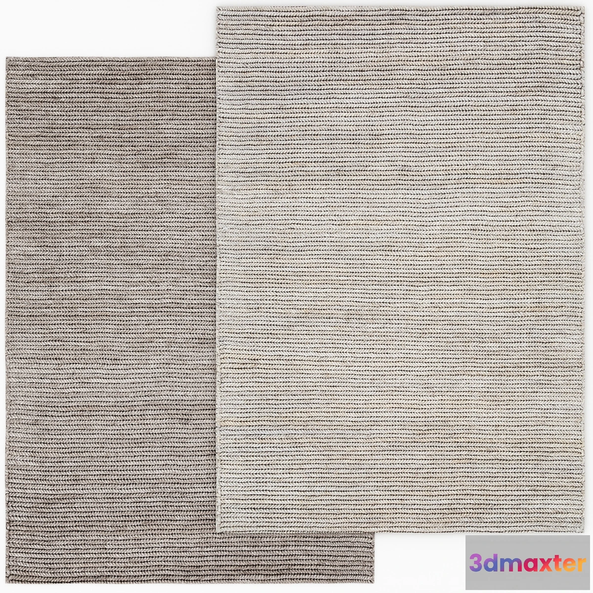
Free


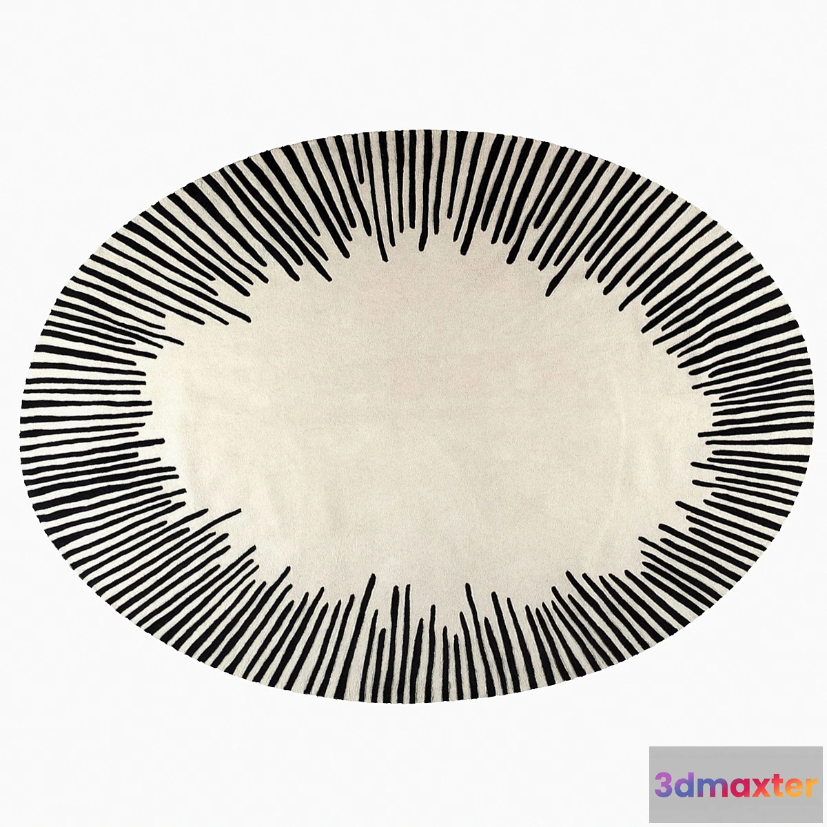
Free

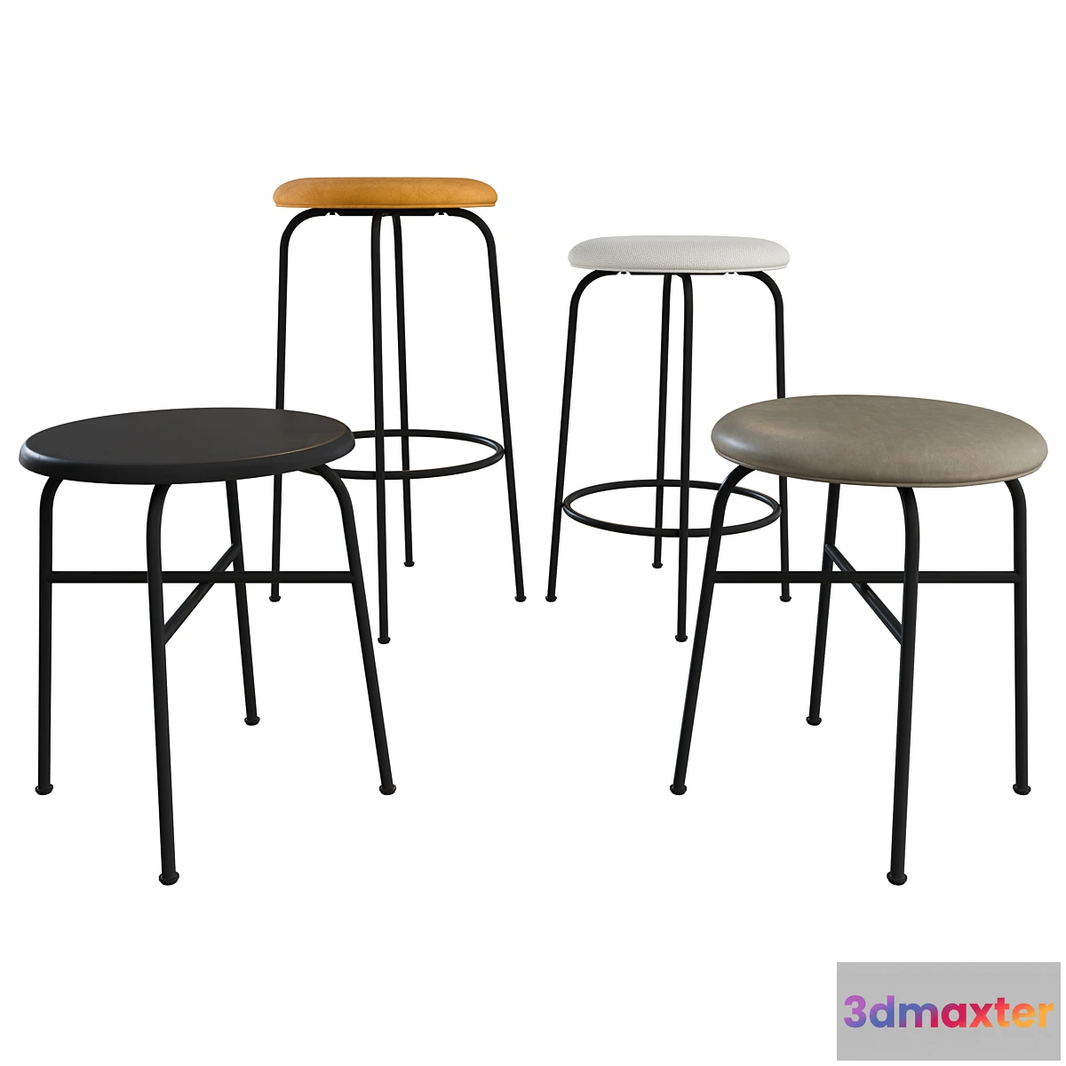
Free


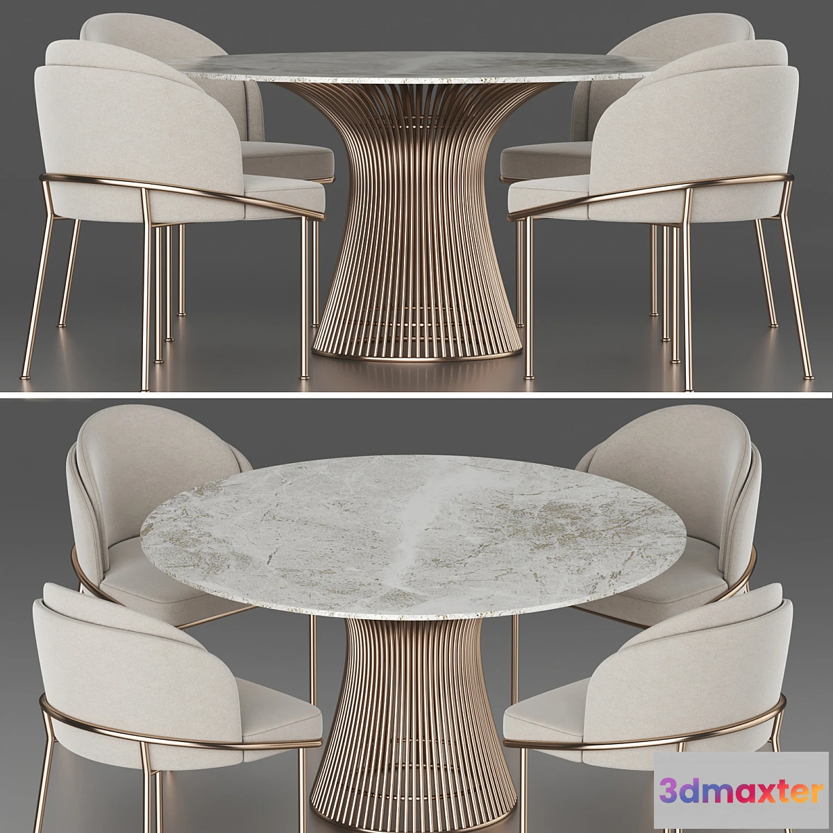
Free

Free
Free


Free

Robert’s paintings Maps: – Atlantic Coast map in 1940 XL nautical chart of Central East Coast. 180×150 cm. in 1 or 4 prints. – Antigua map in 1775 Old map of Antigua Island (Antigua and Barbuda). 115x90cm. – Rattan Island map in 1775 Old map of Ruatan (Roatan) Island of Honduras. 120×90 cm. – Map of Los Angeles in 1915 Greater LA map up to 9 ft long Stylish large wall map in 1 or 3 prints. – Santa Monica map 1948 Vintage map of Santa Monica Bay LA. 120×180 cm. in 1 or 4 prints. – Boston Coast map
Free
Please verify you are human to get the download link.


Reviews
There are no reviews yet.