


YOU MAY ALSO LIKE


Free


Free


Free

Free

Free

Free

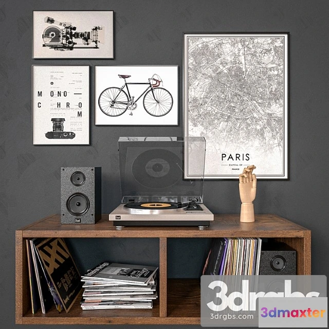
Pictures of Robert’s Maps: – Big World map in 1897 Old map of the World in 8 prints. 240 x 150cm. – Curacao map in 1775 Old map of Curacao Island in the Caribbean. 120×90 cm. – Map of Florence in 1835 Old Florence map Blue or Sepia map of Firenze Tuscany. 75×60 cm. – Washington DC map 1850 Vintage map in four parts. 160x120cm. Facilities: room corridor living room. Styles: vintage retro modern loft classic industrial. Tags: map coast ocean antique island geography the city the circ
Free
Please verify you are human to get the download link.


Reviews
There are no reviews yet.