


YOU MAY ALSO LIKE


Free


Free


Free


Free


Free
Free


Free
Free
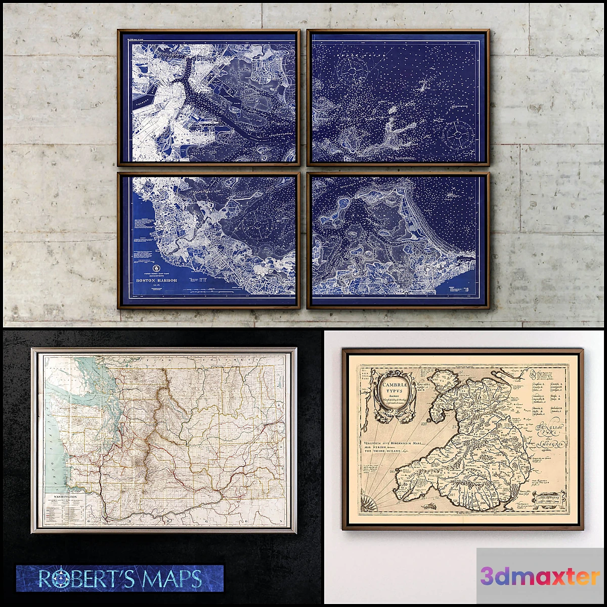
Robert’s paintings Maps: – Boston Harbor map in 1923 in 1 or 4 parts. 180×150 cm. – Map of Washington State 1928. 130×90 cm. – Map of Wales 1630 Historical Welsh map Cymbru Large baroque map of Wales Great Britain. 120x90cm. – Map of Calcutta in 1857 India Old Kolkata map in original or inverted colors. 180x90cm. Facilities: room corridor living room. Styles: vintage retro modern loft classic industrial. Tags: map coast ocean antique island geography the city the circuit drawing the
Free
Please verify you are human to get the download link.


Reviews
There are no reviews yet.